FarSounder is developing advanced sonar solutions to improve situational awareness and navigation safety for Autonomous/Uncrewed Surface Vessels (ASV/USV).
Autonomy and UxV systems are trending topics across multiple industries and vehicle categories. The rapid advancement and integration of drone technology within the maritime sector is accelerating at a fast rate.
The combination of improved at-sea broadband connectivity, AI-driven vehicle control systems, a shrinking workforce of mariners, and the proven effectiveness of uncrewed systems in modern conflicts has created significant opportunities for ASV/USV platforms.
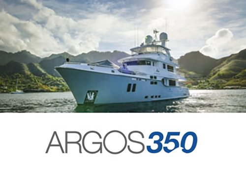
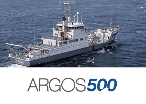
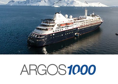
Argos 3D Forward Looking Sonar
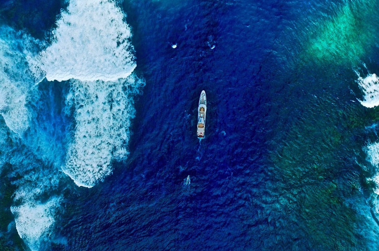
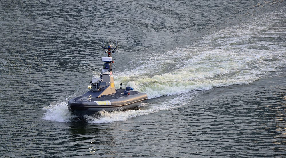
FarSounder’s Argos series of 3D Forward Looking Sonar (FLS) has been deployed worldwide on various vessel types. Although FarSounder initially focused on mid-sized crewed vessels, its Argos 3D FLS systems have been operational on uncrewed vessels since 2021.
These systems are currently utilized on a range of defense and civilian USVs measuring 14 meters or longer. Depending on the model, Argos 3D FLS can detect objects from 350 meters (over 1,100 feet) to 1,000 meters (more than half a nautical mile) ahead of the vessel.
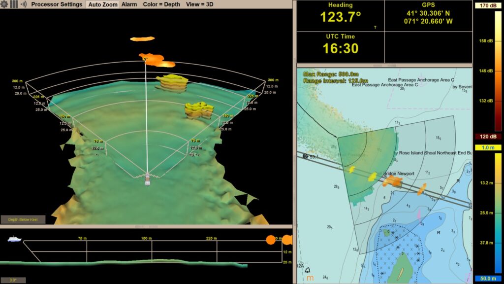
The Argos series provides real-time detection capabilities, builds a bathymetric map of its operating area, and can optionally share this map anonymously with the broader FarSounder fleet to contribute to Seabed 2030. Its sonar output is accessible via a machine interface for vehicle control systems and a graphical display for human-in-the-loop operators.
Expanding USV Capabilities with Compact Hardware
The FarSounder team is currently developing new hardware models specifically designed for USVs under 14 meters in length, featuring lower power consumption, a smaller footprint, and cost-effective options.
These advancements are expected to enable a greater number of USVs to integrate this technology, promoting safer navigation across a broader range of vessel types.
With the effectiveness of USVs as force multipliers now established, the industry is poised for broader adoption of these vessels beyond defense applications, extending into hydrographic surveys, search and rescue, environmental monitoring, and soon, cargo and passenger transportation.
However, as applications expand, determining what lies underwater ahead of the vessel at any moment remains crucial.
The Limitations of Nautical Charts in Remote Operations
Similar to crewed vessels, the most advanced technology available for assessing subsurface navigation hazards is the electronic nautical chart (ENC). It is relatively straightforward to use ENC data to plan a route that avoids shallow waters and other underwater obstacles displayed on the chart.
However, this approach has an inherent limitation—it assumes that the underlying hydrographic survey data is exhaustive and up to date.
While this assumption may hold true in primary shipping channels and well-trafficked areas, globally, only around 50% of coastal waters have been surveyed to modern standards. As USV missions expand into remote coastal environments, reliance on nautical charts alone becomes increasingly unreliable for identifying underwater hazards.
Historically, USV development has prioritized above-water sensors (such as GPS, AIS, radar, and optical/thermal sensors) while ensuring adherence to US Coast Guard Rules-of-the-Road and COLREGS. Early platform testing occurred in well-charted or deep-water areas where concerns about underwater hazards were minimal.
As a result, the limitations of ENCs were largely overlooked. However, with ASV/USVs now venturing beyond these controlled environments, that assumption is no longer valid. Given the limited resources available to hydrographic offices worldwide, achieving comprehensive surveying of all areas of interest will take considerable time.
Even the US has only mapped approximately 52% of its territorial waters. Seabed 2030, a joint initiative by GEBCO and the Nippon Foundation, supported by the IHO and endorsed by the UN, is dedicated to compiling a complete map of the ocean floor. Despite leveraging crowdsourced data and private survey contributions, their current global map covers only about 26% of the seafloor at a maximum resolution of 100 meters.
Traditional crewed vessels often mitigate charting deficiencies in littoral waters by relying on local knowledge and observations from experienced bridge crews, an advantage that uncrewed systems lack, resulting in a significant gap in situational awareness.
Additionally, nautical charts do not account for transient obstacles, changes in the seafloor caused by seasonal shifts or natural disasters, or operations in GPS-denied environments. These challenges are particularly relevant in the Arctic, where environmental conditions fluctuate constantly, and in conflict zones where GPS spoofing and jamming are frequent threats.
Above-water sensors are unable to detect uncharted rock pinnacles or coral formations. They cannot identify debris obstructing a previously navigable channel after a hurricane. They are limited in detecting the submerged portion of an iceberg or smaller ice fragments. They cannot perceive bathymetry in remote environments.
Additionally, their ability to detect whales is minimal, as these marine mammals spend most of their time beneath the surface. Whale avoidance is crucial not only for vessel safety but also for marine conservation, as ship strikes remain one of the leading causes of mortality for large whales, including the critically endangered North Atlantic Right Whale.
Addressing Underwater Navigation Challenges with 3D Forward Looking Sonar
Fortunately, ASV/USV developers have access to more than just above-water sensors, 3D Forward Looking Sonar (3D FLS) serves as their underwater counterpart. Introduced to the commercial maritime market in 2005, 3D FLS is a well-established technology capable of addressing many limitations of above-water sensors.
When integrated with conventional navigation systems, 3D FLS enables vehicle control systems (and remote operators) to gain a more comprehensive understanding of the underwater environment, identifying uncharted seabed features, shifting sandbars, and transient objects in real-time.