SatLab Geosolutions presents a comparative case study: Singlebeam vs. Multibeam: Advancing Underwater Surveying Efficiency, focused on hydrographic surveys of the Shiqiao Waterway, a critical canal supporting increasing inland shipping activity.
As traffic intensifies, accurate and frequent underwater assessments are essential to maintain safe navigation and efficient operations. The study examines how the transition from singlebeam to multibeam survey systems improves both the quality and efficiency of hydrographic surveys.
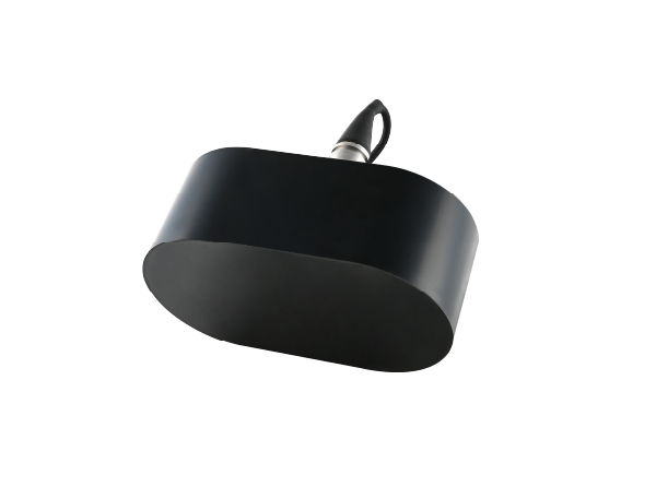
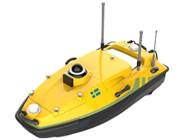
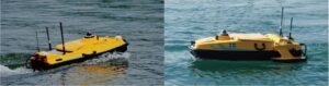
Initially, surveys were carried out using the HydroBoat 1200 USV, equipped with a 200 kHz singlebeam echosounder. This method, while straightforward and cost-effective, captures only one depth point per sonar ping, which limits its effectiveness for large-scale or high-resolution mapping.
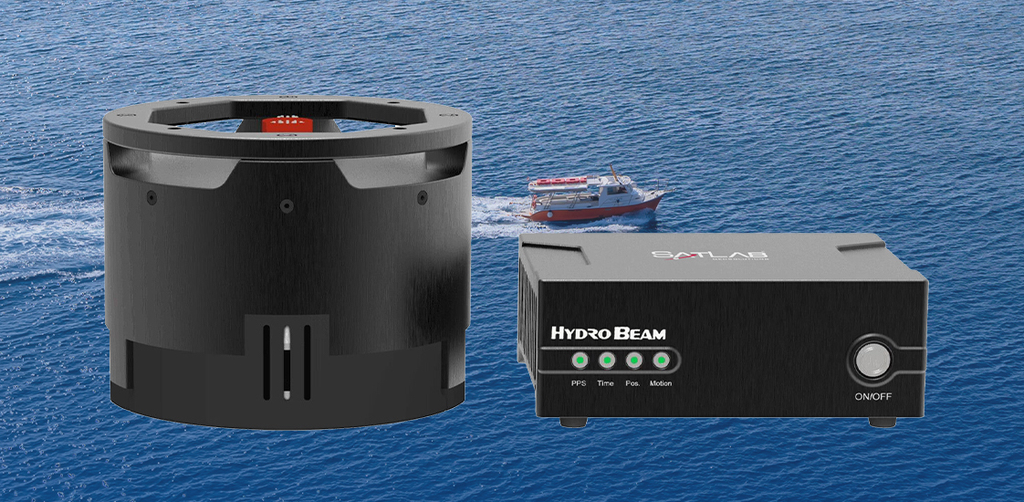
In contrast, the HydroBoat 1500 USV, outfitted with a HydroBeam M4 multibeam system, offers notable performance enhancements. Capable of recording up to 1,024 depth points per swath, the multibeam system significantly reduces survey time while increasing data density and accuracy.
The case study outlines key differences in equipment setup, route planning, data collection, and processing for both systems. Ultimately, the analysis shows that while both technologies meet industry standards for data reliability, multibeam systems offer superior resolution and efficiency. The choice between the two depends on project requirements, balancing operational efficiency, data quality, and overall cost.