Autonomous Underwater Vehicles
Discover cutting-edge solutions from 8 leading global suppliers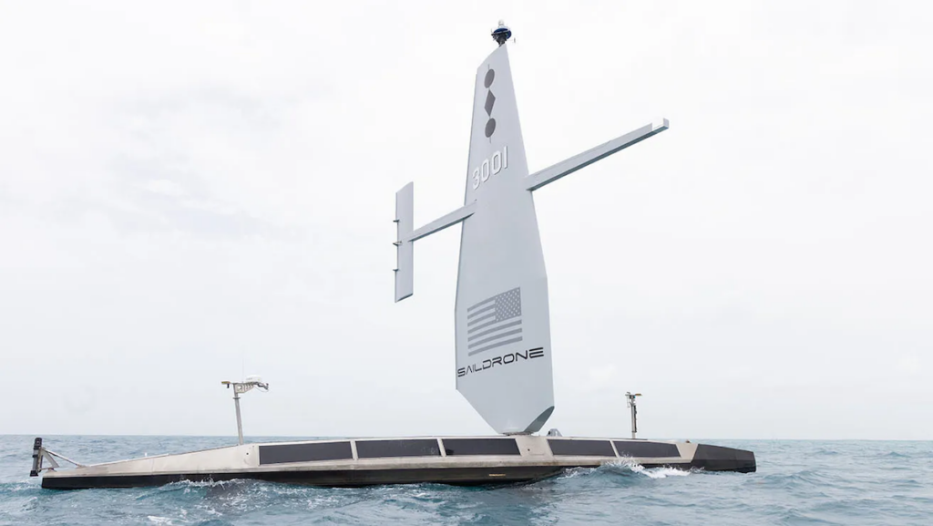
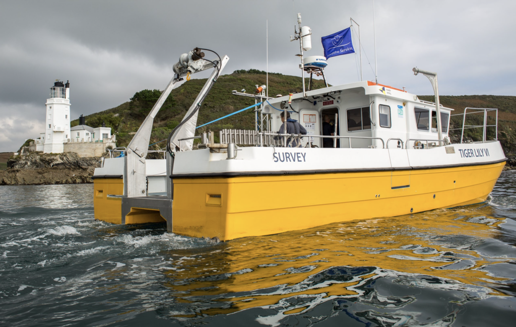
Saildrone has begun a mission to map the 29,300 square nautical miles (100,530 sq km) of the Cayman Islands’ Exclusive Economic Zone (EEZ) using autonomous, uncrewed surface vehicles (USVs).
The mission is being conducted using a 20-meter Saildrone Surveyor USV, and will cover 80% of the Cayman Islands’ EEZ using autonomous technology.
The Saildrone Surveyor is equipped with multibeam echo sounders and metocean sensors for ocean mapping and ecosystem monitoring, as well as radar, subsea cameras, and advanced machine learning. While a standard survey ship takes years to build, Saildrone can reportedly produce one Surveyor in as little as six weeks—at a fraction of the cost of a ship.
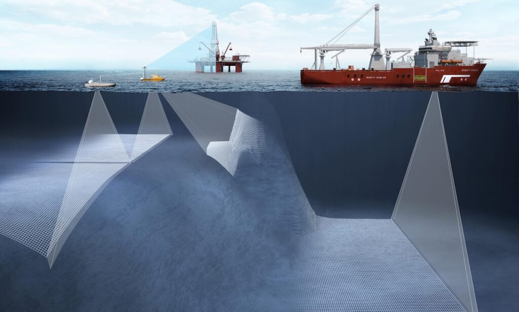
A high-resolution bathymetric map of a country’s EEZ is a prerequisite for exploring, identifying, characterizing, exploiting, conserving, and managing natural resources in waters extending up to 200 nautical miles from its shores.
The Cayman Islands’ EEZ encompasses an area that is 357 times larger than the islands themselves, about half the size of the state of Florida. The mission will provide detailed and precise bathymetric data for the Cayman Islands, contributing to a comprehensive understanding of the seafloor topography in the region.
The data collected is set to enhance maritime navigation and charting, and support scientific research, environmental conservation efforts, and marine resource management in the Cayman Islands.
Saildrone will collect the raw bathymetry data, which will be provided to the UK Hydrographic Office (UKHO) to process and update the Cayman Islands’ nautical charts. The data will belong to the Cayman Islands government.
The mission will take approximately six months. Saildrone will provide local mariners with detailed information, via its website, on the location of the Surveyor vehicle when it is scheduled to operate close to shore or near popular fishing and boating areas. The project is funded by the London & Amsterdam Trust Company Limited, a Cayman-based organization.
Premier and Minister for District Administration & Lands, Hon. Juliana O’Connor-Connolly, expressed the benefits of the Cayman Islands undertaking the marine survey, “Our waters hold such great value to us for a myriad of reasons ranging from recreational to economic.
“Conducting this assessment will allow our government to make data-driven decisions that will strengthen our policies and legislations as it relates to our maritime infrastructure. I am grateful to all parties who have worked to bring this initiative to this junction and am eager to learn of the survey’s results and outcomes.”
Brian Connon, Saildrone VP Ocean Mapping, added, “Saildrone’s Surveyor class of USVs provides an available, economical, climate-friendly solution to mapping the world’s oceans. The data gathered by this USV will provide valuable insights into the Cayman Islands’ underwater topography, aiding in the mapping and exploration of the country’s marine resources and ecosystems.”
Find suppliers and manufacturers of Multibeam Echosounders for seafloor mapping >>