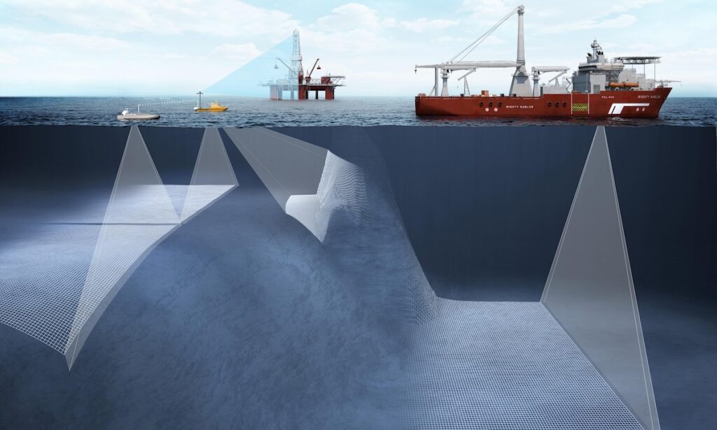
Satellite Communication Systems
Discover cutting-edge solutions from leading global suppliers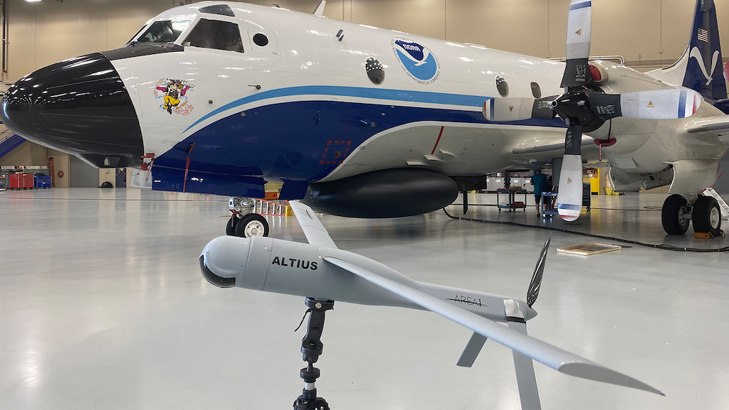
The NOAA has reportedly conducted the first collocated drone mission into a hurricane, collecting vital data in the lower levels of the storm that have been historically too hard to reach.
The NOAA Hurricane Field Program team flew several operational and research missions into Hurricane Tammy in October aboard the NOAA Hurricane Hunter P-3 aircraft and collected data sets from multiple different instruments.
Dozens of scientists, crew members, and private industry partners planned and executed this intricate choreography to gather critical hurricane data from satellites, at multiple levels of the atmosphere, down through the sea.
By gathering data at different levels of the ocean and the atmosphere, NOAA continuously learns more about how storms form, build, and intensify, with the ever-present goal of protecting lives and property.
In addition to the first Black Swift Technologies’ S0 drone launch into a storm, the research missions also resulted in the first successful coordination of various technologies:
Anduril’s Altius 600: a low-flying, small uncrewed aircraft system (sUAS) deployed from the NOAA Hurricane Hunter aircraft and capable of operating in low- and medium-altitude maritime environments. It collects data in the storm’s boundary layer that can better detect changes in the storm’s overall structure. Through Hurricane Tammy it transmitted data from as low as 940 feet above sea level.
A Saildrone: a wind and solar-powered uncrewed surface vehicle (USV) that gathers data at and just below the ocean surface. These observations improve our understanding and prediction of tropical cyclone intensity changes. The hurricane hunter aircraft flew over the saildrone three times during this mission, releasing additional instruments and collecting data from its onboard radar systems.
Airborne EXpendable BathyThermographs: small probes released from aircraft that measure ocean temperature as a function of depth as they descend through the water column. They were also launched near the saildrone and collected ocean temperature data down to 350 meters depth.
Dropsondes: small instruments that collect profiles of atmospheric pressure, temperature, relative humidity, wind speed, and wind direction as they descend through the atmosphere. Several were launched from the aircraft in the area immediately around the saildrone and near the Altius (as close as 1.4 nautical miles from a saildrone). A special dropsonde outfitted with a downward-looking infrared sensor was also capable of measuring sea surface temperature (SST).
The dropsondes’ measurements will be compared and validated with SST’s measured by both the saildrone, the Altius 600, and the Airborne EXpendable BathyThermograph (see above) that was also deployed from NOAA’s P-3 Hurricane Hunter aircraft.
Simultaneously, the P-3 aircraft flew through the storm, gathering data from the fully operational Tail Doppler Radar, which pinpoints where the strongest winds are located, how far they extend outward from a storm’s center, and the regions of heaviest rainfall, giving us a three-dimensional view from just above the ocean surface to the very top of the storm.
By collecting high quality observational data in so many different areas of the storm, scientists and forecasters can learn even more about the formation, development, track, and the intensification of tropical cyclones. The more we know about these storms, the better equipped we are to predict phenomena like rapid intensification – when the winds of a tropical cyclone increase by 35 miles per hour or more within a 24 hour period.
Rapid intensification is hard to predict, so this coordinated mission is a step in the right direction to improving hurricane predictions. Everyone involved in this effort is dedicated to continuing to make progress so this kind of data collection becomes routine in future hurricane seasons.
“Before NOAA’s partnership with Saildrone Inc., there weren’t any instruments that could measure the exchange of heat and momentum between the ocean and hurricanes, which could also be steered into the path of a hurricane,” said Greg Foltz, NOAA AOML Oceanographer and a Principal Investigator of the Saildrone Project.
“Our team coordinated the Altius launch in close proximity to a saildrone, allowing both instruments to collect data that can be analyzed together and advance our knowledge of ocean-atmosphere interactions,” said Joe Cione, NOAA Lead Meteorologist for Emerging Technologies.