Blue Marble Geographics stands at the forefront of geospatial software development, delivering powerful solutions for marine, coastal, and offshore mapping and surveying. Find out more >>
Trusted by industry professionals and government agencies worldwide, the company’s software suite provides advanced tools for GIS data processing, bathymetric analysis, and 3D modeling, ensuring precision and efficiency in complex marine environments.
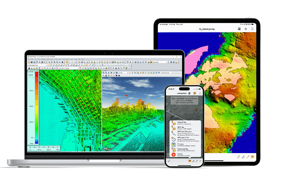
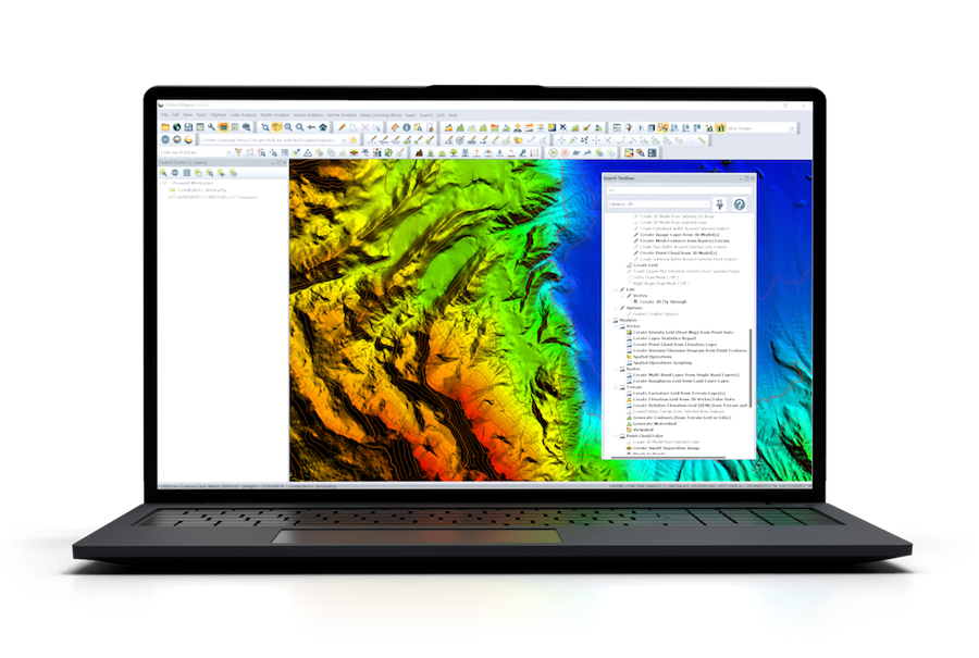
Global Mapper: Comprehensive GIS & Bathymetric Survey Software
Global Mapper is a versatile, user-friendly geospatial software suite designed to meet the needs of marine and offshore professionals. With an intuitive interface and extensive data analysis capabilities, it streamlines mapping and surveying workflows for organizations of any scale.
Supporting nearly 400 file formats, including raster, vector, and elevation data, Global Mapper enables seamless integration of diverse datasets across different time periods. The Online Data tool offers instant access to nautical charts, satellite imagery, and bathymetric data, enhancing situational awareness and decision-making in maritime operations.
Key features include:
- 3D Bathymetric Visualization: Generate and analyze seafloor terrain models with contour creation for in-depth examination.
- Advanced Data Sharing: Export screenshots and geospatial files in multiple formats.
- HD 3D Fly-throughs: Capture and explore marine environments with high-definition video tools.
- Comprehensive Digitizer Tools: Facilitate precise vector data creation and editing.
- Raster Calculator: Process multi-band imagery for NDVI, NDWI, and other remote sensing applications.
- Database Integration: Seamlessly read and write data from Esri, MSSQL, MySQL, Oracle, PostGIS, PostgreSQL, and SpatiaLite/SQLite.
- Military-grade Mapping: Utilize the Objective Terrain Format (OTF) Reader Module for defense and naval applications.
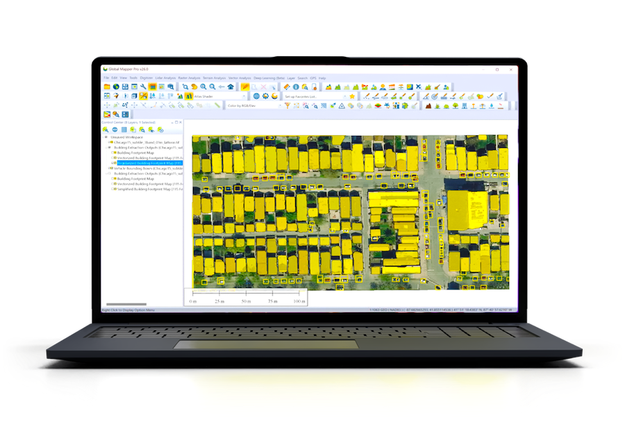
Global Mapper Pro: Advanced 2D & 3D Data Processing
For professionals requiring advanced analysis tools, Global Mapper Pro enhances the core functionality of Global Mapper with cutting-edge geospatial capabilities. Designed for high-precision marine and offshore applications, it expands workflows with:
- AI-powered Object Detection: Leverage deep-learning image analysis for terrain classification.
- Solar Analysis Tools: Model solar exposure based on terrain and 3D vector data.
- Automated LiDAR Classification: Classify point clouds and extract vector features with ease.
- RTK Support & Satellite Constellation Display: Enhance positioning accuracy in real-time.
- Python Scripting Integration: Automate workflows and streamline data processing.
- Advanced Point Cloud Processing: Remove noise, align overlapping clouds, and conduct terrain painting.
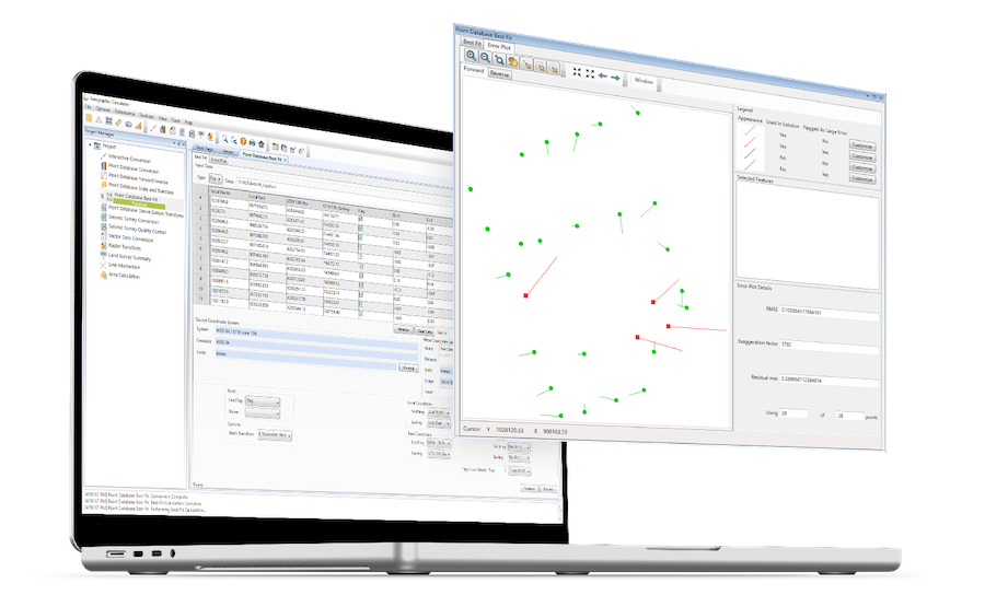
Geographic Calculator: Precision Geodetic Tools for Marine Surveying
Geographic Calculator is a leading geodetic software package designed for accurate coordinate conversion, datum transformation, and file translation. With the largest geodetic parameter database available, it is indispensable for marine construction, offshore energy, and coastal monitoring applications.
Users can utilize the Interactive Conversion feature to seamlessly transform coordinates between different systems, ensuring data accuracy for critical marine operations. The newly integrated Geographic Calculator Cloud further enhances usability by allowing remote access to essential geodetic tools.
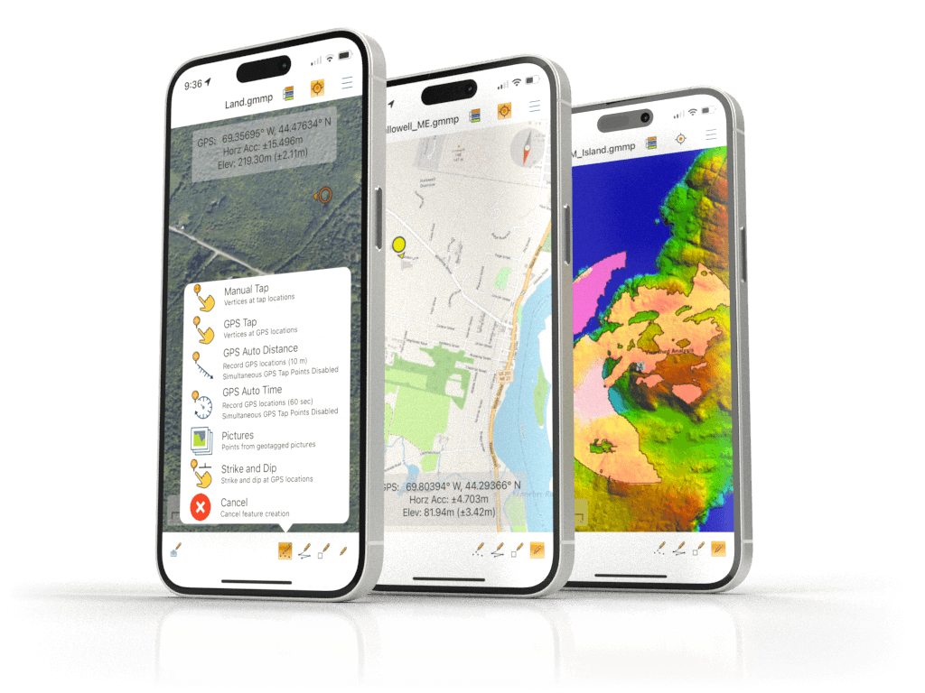
Global Mapper Mobile: On-the-Go GIS for Marine & Coastal Fieldwork
Designed for iOS and Android devices, Global Mapper Mobile extends GIS capabilities to field professionals, enabling real-time data collection, visualization, and analysis. This powerful tool bridges the gap between offshore surveying and desktop GIS, providing:
- Seamless field-to-office integration for marine and coastal data.
- High-precision mapping and annotation tools.
- Support for real-time GPS positioning and navigation.
Applications Across Marine & Offshore Industries
Seafloor Mapping & Bathymetric Analysis
Global Mapper’s bathymetric processing tools facilitate high-resolution seafloor mapping, ensuring safe navigation, construction planning, and environmental research.
Coastal Erosion Monitoring
With its change detection capabilities, Global Mapper enables long-term tracking of shoreline changes, crucial for construction planning and marine habitat preservation.
Offshore Energy & Construction
Blue Marble’s geospatial software supports offshore energy development, from seabed assessment to wind turbine placement, ensuring efficient cable routing and infrastructure planning.
From research institutions to commercial enterprises, Blue Marble Geographics empowers professionals with the tools needed to navigate and analyze the marine environment with precision and confidence.
Visit the Blue Marble Geographics supplier profile to find out more.