YellowScan is set to highlight its latest advancements in bathymetric LiDAR technology at Geo Connect Asia 2025, taking place at the Sands Expo & Convention Centre in Singapore from April 9-10.
The company’s CEO, Tristan Allouis, will also participate in a panel discussion on April 9, offering insights into the evolving landscape of LiDAR technology and its applications in aerial and underwater mapping.
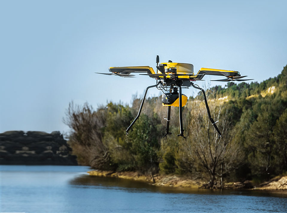
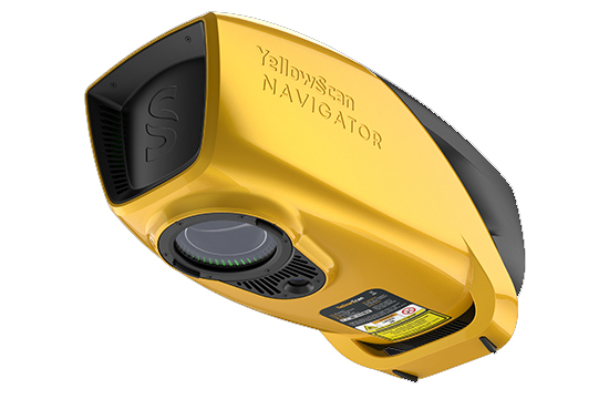
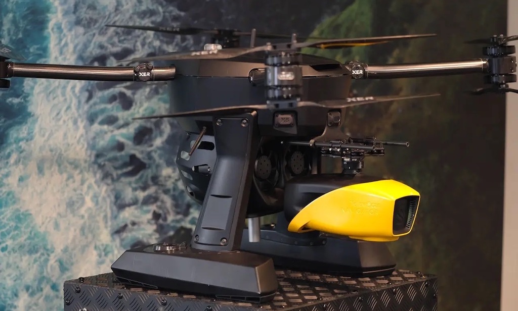
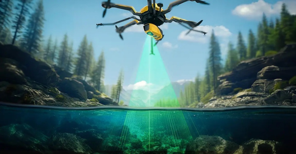
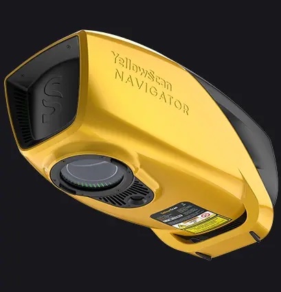
One of YellowScan’s key showcases at the event will be the Navigator bathymetric LiDAR system, engineered for seamless underwater and ground topography exploration. Designed for ease of use, the system features a single-button operation, ensuring streamlined deployment and operation in the field.
The Navigator’s lightweight and adaptable design allows it to be integrated with a variety of aerial platforms without compromising its water penetration capabilities. This system is the result of rigorous in-house development by YellowScan’s R&D team, with initial field tests beginning in 2023 to refine its performance for real-world applications.
Designed for deployment on multirotor or helicopter UAVs, the Navigator leverages a quick-release GREMSY attachment, facilitating rapid and secure integration with a wide range of drone platforms. This flexibility ensures that surveyors and hydrographers can efficiently conduct bathymetric measurements in challenging environments, including shorelines, rivers, lakes, estuaries, ponds, and gravel pits.
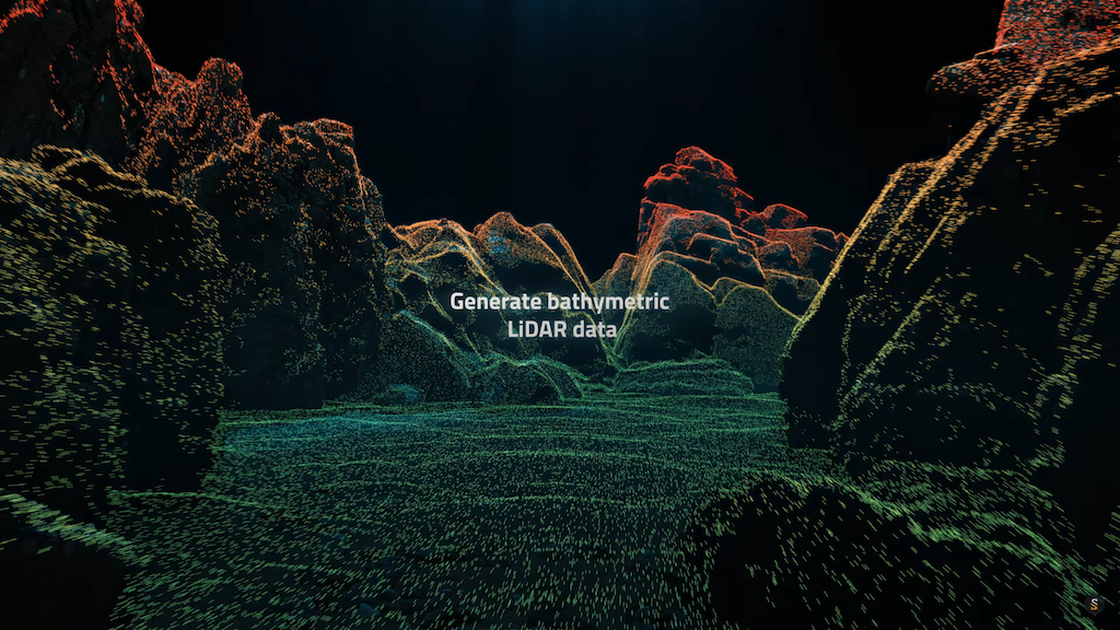
The system’s full-waveform LiDAR capability enables seamless data continuity between underwater points and surrounding terrestrial landscapes. By capturing detailed topographic and bathymetric data in a single pass, the Navigator enhances the efficiency and accuracy of hydrographic surveys.
Unlike traditional bathymetric LiDAR systems that prioritize wide coverage, the Navigator is specifically designed with a 40-degree field of view to maximize precision. Extensive research has shown that 40° is the optimal angle for green laser performance underwater, as wider angles result in significant degradation of laser penetration, reducing data quality and reliability.
The system is also equipped with a global shutter camera for colorization purposes, enabling enhanced visualization of surveyed areas. With 45-minute operational autonomy per battery charge, the Navigator supports extended data collection in a variety of marine and coastal environments.

Attendees of Geo Connect Asia 2025 can visit YellowScan at Stand V45 to learn more about the company’s latest LiDAR innovations. Technical support and on-site training details will also be available for those interested in integrating YellowScan solutions into their workflows.
For those unable to attend the event, additional information on YellowScan’s bathymetric LiDAR technology and product offerings can be found on the company’s website, where potential clients can also schedule meetings with the YellowScan team to discuss their specific requirements.