
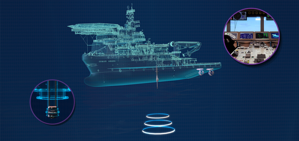
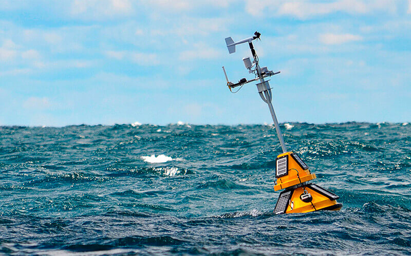
Marine Inertial Navigation Systems
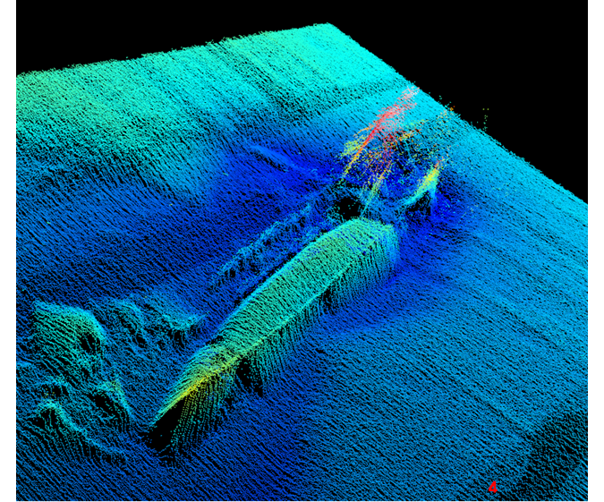
Marine grade inertial navigation systems (INS) provide critical navigation capabilities in surface and underwater environments. Marine inertial navigation systems continually measure and track changes in velocity and orientation, ensuring accurate position determination for remotely operated vehicles (ROVs), Autonomous Underwater Vehicles (AUVs), and research vessels.Products (5)

Related Articles

Platinum Partners
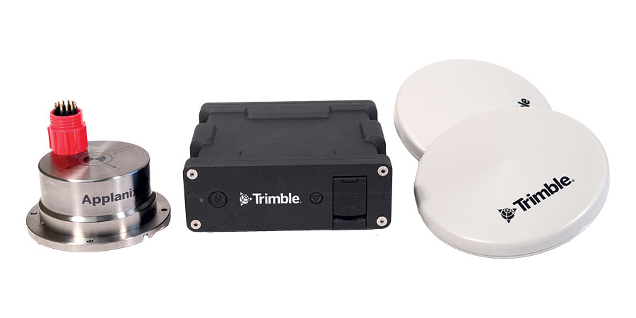
Trimble Applanix
High-Accuracy Positioning, Orientation & Navigation Systems for Marine & Maritime Applications
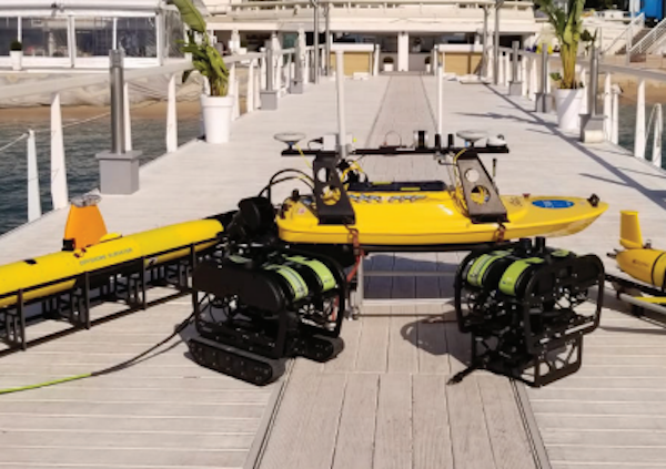
Teledyne Marine
High-Performance Instruments, Sensors & Technologies for Exploring & Monitoring Subsea Environments
Inertial Labs, a VIAVI Solutions Company
Cutting-Edge Positioning, Navigation & Motion Tracking Systems for Marine & Maritime Vessels & Platforms
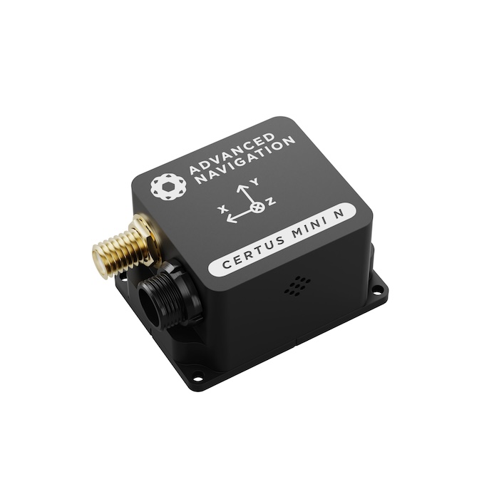
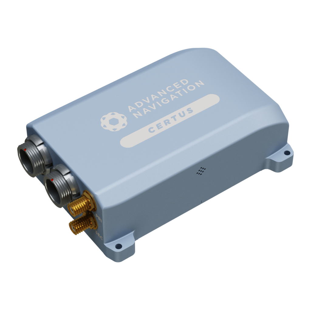
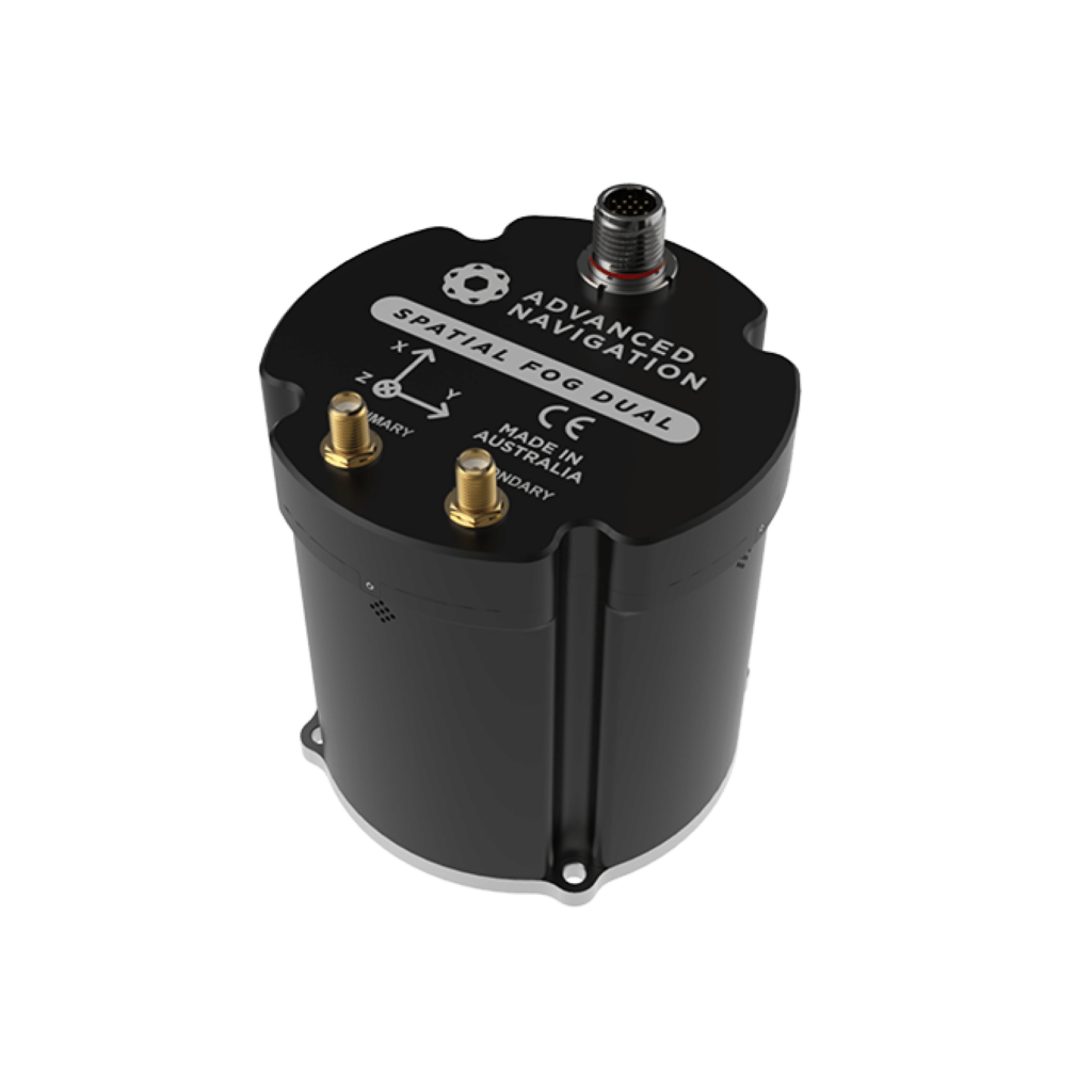
Advanced Navigation
High-Accuracy Inertial Sensors & Acoustic Positioning Systems for Marine, Maritime & Offshore Applications

Other Suppliers


 Join the OST Professional Network
Sign up free to OST Pro to get full website access, the weekly newsletter and exclusive event discounts.
Join the OST Professional Network
Sign up free to OST Pro to get full website access, the weekly newsletter and exclusive event discounts.


